Land works
Water engineering and land improvement in Valtellina: how to plan a project
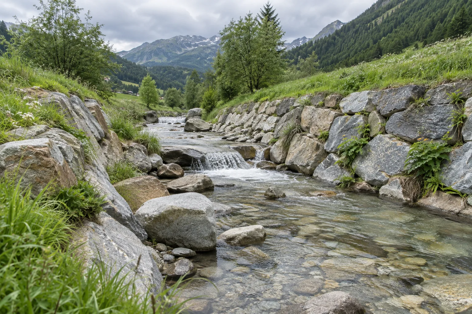
AI-generated illustrative image.
An intervention involving water and soil requires a reading of the site and relationships with the surrounding areas. To submit a request for hydraulic works or territorial accommodation, it is useful to describe the problem observed, the localization and the documentation existing, leaving the sizing to the professionals in charge.
Describe the problem without prescribing a solution
A request like "serve a wall" or "need to move water" indicates a hypothesis, but does not yet explain the problem. It is more useful to tell where it is manifested, when it has been observed and what areas it affects. Pictures taken from recognizable points and a noted map help to share the context.
If there are any reliefs, studies or previous projects, allegiances indicating which section they refer to. The technical evaluation must include the site as a whole: a solution cannot be deducted from a single image or automatically transferred from an intervention seen elsewhere.
Distinguish maintenance, repairs and new works
In the initial comparison it is best to separate what already exists from what you would like to achieve. A deteriorated work, a stretch to restore and a new accommodation offer different starting information. The project clarifies the necessary objectives, processes and verifications.
Mazzoni Costruzioni deals with hydraulic and territorial works. The executive role of the enterprise is coordinated with that of the technicians and the subjects responsible for the intervention. Specific design and administrative aspects must be defined for the concrete case before setting operational conditions.
Gather information for the initial discussion
Locate the section or area on the map and describe how to reach it. To evaluate the organization, they are interested in access, possibility of approaching the means and presence of works or activities nearby. The information must refer to the actual site, not only to the municipality.
Report any buildings, roads or routes that must remain accessible. If the intervention is part of a broader project, it indicates links with other processes and the definition status of the processes. An orderly documentation helps to avoid overlapping of scope.
- Map with the affected section and identifiable accesses.
- Recent photographs and description of the observed conditions.
- Reliefs, drafts and references of the technicians responsible.
- Indication of the nearby areas and activities to be coordinated.
Plan work across the area
Access conditions, available space and design features influence means, sequence and times. In a mountain context it is particularly useful to clarify the exact location and the conditions of the route, avoiding to consider equivalent areas belonging to the same municipality.
The programme must be coordinated with the other parties involved and with the conditions for the execution. This guide does not provide instructions to intervene on the banks, hives or support structures: it is used to prepare a professional comparison and to make readable the perimeter of the request.
Connect your request to documented works
To know the company you can consult the fields of intervention and the achievements published on the site. The archive photos document specific works; the image of this article is instead an illustrative representation generated with AI and does not demonstrate an intervention performed in that place.
To contact Mazzoni Costruzioni, please send localization, objective and materials already available. The venue is at Talamona; availability, inspection and organization are assessed in relation to the project characteristics.
Example: Reporting an Observed Problem
A photograph of water stagnating documents a condition, but does not establish the cause alone. For the first comparison it is more useful to indicate where and when it happens, which areas interest and if there are processed. The solution requires the evaluation of the competent technical figures.
| Item | What to clarify |
|---|---|
| Comments | Location, period and conditions |
| Documents | Reliefs and processed products available |
| Access | Path and areas accessible safely |
| Perimeter | Parts of the property and artifacts concerned |
Use the site visit checklist and the quotation comparison sheet.
Frequently asked questions
Is a photograph enough to choose the surgery?
No. It can help describe the situation, but design and verification require information on the site and the conditions of the work.
What is the difference between this guide and a project?
The guide organizes the information useful to the first contact. The project defines the solution for the specific site through the dedicated professionals.
Next step
Let’s discuss your project.
Send the municipality, your objective and the available documents. We can assess the scope of work together and identify any further information needed.
Related work
A project in your municipality
Browse information about the area and prepare an enquiry for the project location.
All municipalities in Valtellina ↗